Thursday, May 31, 2012

The Land of Enchantment Strikes Again - Jemez Mountain Trail Runs Race Report

I'll come right out and say it - I've never considered New Mexico to be one of my favorite states in the country, despite some of the obvious draws that it has for me. I think that it would rank much higher on my list if it were not located in such close proximity to so many other states with truly amazing and unique features. When compared with the rest of the four corners states - Colorado with its' striking and rugged mountainous terrain; Utah with its' mixture of mountains, canyons, and desert landscapes; and Arizona with THE canyon - New Mexico doesn't have a great amount to add, topographically, that is unique to itself.

What New Mexico does have that is somewhat unique is its' strangely designed roads. The layout of the highway system in the northern part of the state in particular has always baffled me and seems haphazard at best, and the road systems in the towns never seem to be very conducive to efficiently traveling from one place to another. The funny thing is that although the nonsense of the road systems in New Mexico sometimes annoys my sense of logic, the affected result - longer driving times between locations - has never really bothered me. The scenery and culture that is experienced when driving through northern New Mexico is always enough to keep me engaged and not let the miles wear on my mental state. I can't help but think that maybe the seemingly random road systems were actually strategically planned to route the traveler near and through all of the most scenic and interesting parts of the landscape so that the travel would become more of an experience and less of a means for getting from point A to point B.

So does all this mean that I consider the roads to be the best or most unique attribute that New Mexico brings to this country? Not by a long shot: that honor belongs to the New Mexican green chile.

The roads, the topography, the scenery, the culture, and the green chile are all things that I experienced during my most recent venture into the wild lands of New Mexico. The main event on this excursion was the Jemez Mountain Trail Runs - specifically the half marathon event which was part of the La Sportiva Mountain Cup. The friendly town of Los Alamos is home to the Jemez Mountains and, appropriately, the Jemez Mountain Trail Runs.

The course for the half marathon starts on a small mesa in town and descends into a canyon at the base of the mountains. The trail then climbs steadily through the canyon as it runs along the outskirts of town before it turns decidedly upward and begins to ascend to the highpoint on Guaje ridge, which is seen in the picture above. Once atop Guaje ridge, the trail snakes along the ridge crest descending gradually, then more steeply back into the bottom of the canyon where the climbing first began. The final two miles of the course consists of rolling uphill climbing out of the canyon and onto the mesa for the finish. The result of the course layout is a good, tough, honest challenge that makes sure you know that you've worked for the finish, but isn't so brutal that you're not able to enjoy the course.

If you look closely at the picture of Guaje ridge above, you'll notice that the mountain appears to be growing a thin covering of whiskers. Those whiskers are the remains of what used to be trees that got burned up last year in the Las Conchas fire, which at the time was the largest wildfire in recorded New Mexico state history. Because of the lack of trees, the exposure on the course was high and the temperature on the ridge got a little bit toasty during the run. I can only imagine that the 50k and 50 mile runners who descended the ridge later in the day would have been heating up as they ran this section. Along the ridge, the remnants of what used to be the forest consisted of sparsely scattered standing tree trunks that had been mostly consumed by the fire yet somehow managed to remain upright. The sound of the wind whistling along the ridge while running through the burn area coupled with the sweeping views into the valley to the east made for an interesting setting.

Due to the open terrain that allowed for good visibility, I was able to play spectator to the battle among the lead runners for all of the first half of the race. Rob Krar, Kris Houghton and Ryan Woods all went out at a steady pace on the intial road section, then started pushing the pace once on the single track. Jason Bryant fell in behind the lead group, and I stuck with a group of five other guys that kept a steady pace through the initial gradual climbs through the canyon. Once our group began the more direct climb up the slope to the ridge, I could see Rob in front with Kris close behind him. I could also see that Ryan looked to have dropped off the pace somewhat and Jason was pushing to catch him. Our following group began to string out some as we climbed to the ridge and once I left the aid station at the top of the ridge I found myself alone running through the burned forest.

As we descended off the ridge and back into the canyons, I could see that I was gaining some ground on the two runners directly in front of me, but wasn't feeling confident that I'd be able to catch either of them as they appeared to still be running strong. As we began the final rolling ascent over the last two miles to the finish, I began gaining ground more steadily. All of a sudden the guy directly in front of me seemed to hit a wall and slowed down dramatically, which allowed me to pass and put a gap on him quickly. Less than a quarter mile from the finish line we had to scramble up through a rocky washout with some pretty technical footing. As I began ascending this section I was trying to give a last hard push. I could see that the next guy ahead of me was struggling to push through that final climb, and he stepped to the side and told me to pass him. After unexpectedly gaining two positions in the last mile of the race, I crossed the finish line in what I thought was sixth place.

After doing a short cooldown run with Kris I came back to the finish line and people were starting to ask "Where's Jason?" I hadn't seen Jason since he crested the ridge halfway into the race and I assumed that he had finished well before me, but no one had seen him show up at the finish line. Shortly after, we also realized that Gina Lucrezi had not shown up at the finish line yet as people who had been running behind her were finishing. As it turns out, both Jason and Gina had missed a turnoff during the descent and had run down a canyon in the wrong direction. Jason ended up continuing down the canyon and caught a ride in a truck with a guy who was cutting fence posts, and Gina ended up reversing her path and hiking back in to the finish. At the time that they missed the turnoff, Jason was running as the third place man and Gina was running as either the second or third place woman, and they both ended up not finishing the race. Due to Jason's excursion off the course, I ended up in fifth place in the standings rather than sixth.

Once the confusion of the missing runners had been sorted out, we had a good time just hanging out eating the post-race meal (including some great spicy green chile enchiladas), drinking beer that Santa Fe Brewering Company had provided, and enjoying the sunshine. The awards for the race were beautiful handmade pottery bowls which were made by a local family. The bowls were freehand painted in a theme that depicted the race course and the effects that the recent fire had on the course.


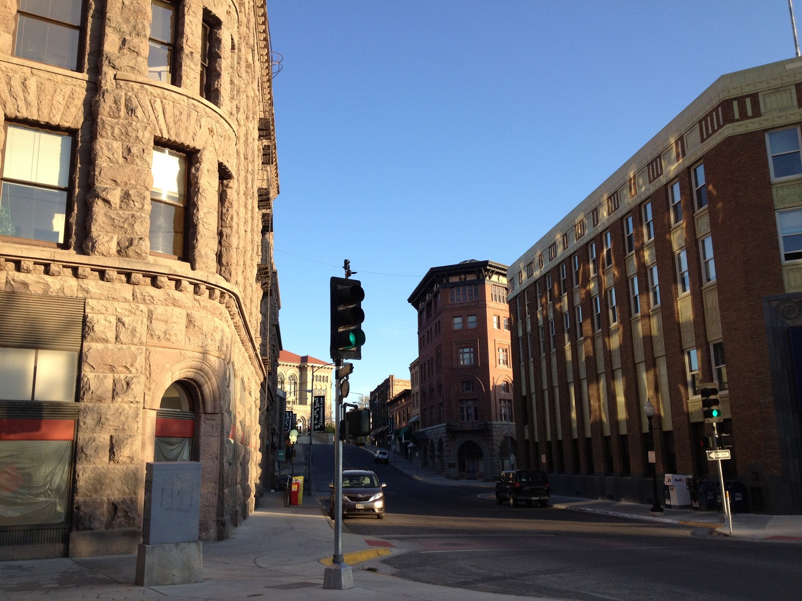
After leaving the post-race party I started making my way out of Los Alamos and back into the valley, catching a good look back at the mountains and the runout of the canyons below them.


I drove to Taos and stopped over briefly to eat some food containing copious amounts of green chile, then continued up to Taos Ski Valley and set up camp near the ski area base. After a night of peaceful sleep, I packed up camp and got ready for my next adventure - a "run" up Wheeler Peak, the New Mexico state highpoint. After the hard race effort the day before, I wasn't pushing myself too hard on the climb up the peak, so the ascent was split into about 60% power hiking and 40% running which still made for a good consistent effort.

As I gained the ridge and began to climb toward treeline, I got some good views to the east into the Red River valley.

I also experienced a large number of the local bighorn sheep. My total count of bighorn for the day was well into the 40s.


After passing treeline, I gained the top of a ridge point and got my first view of the true summit of the peak.

I was able to make good time once above treeline and didn't feel much effect from the high altitude. After completing the roundtrip I cleaned myself up in the creek, stretched out and spent some time sitting in the sun, then hopped in the truck and booked it back north to Colorado. Although brief, my visit to New Mexico was full of adventure, good times, and green chile; which is all that one can really ask for.

Wednesday, May 16, 2012

Everyone Needs Some Montana - Don't Fence Me In Trail Race Report


The Rant

According to the internet, Montana means "mountain" in some other language. This makes sense until you realize that if you divide the state down the middle from north to south, the eastern half contains approximately zero mountains. This trait places Montana high in the rankings as the American state with the most confusing land allocation, geographically speaking, behind Texas, Michigan, and all of the Mid-Atlantic states.

Therefore, I've decided to formally propose that the state of Montana be divided into two separate states, with the western half retaining the name "Montana" and the eastern half being named "Planici" which, according to the internet, means "plain" in some other language. An acceptable alternative would be to re-define the borders of Montana to include the western half of the existing state, northwest Wyoming, and all of Idaho. That would be a state worthy of the name Montana. The left over parts of the former states of Montana and Wyoming could become part of the Dakotas or something. I'm sure that few people would notice, and even fewer would care about this change being made, which is good enough reasoning for me.

I arrived at the above conclusions during the early miles of the Don't Fence Me In 30k trail race last weekend in the foothills outside of Helena, which lies within both the currently accepted and newly proposed borders of the state of Montana. Apparently when I run, I spend my time thinking about the nonsense of American geography. I'm sure I'm not the only one.

The Place

View of Helena and its' hills at sunrise

Downtown Helena

During my three days in Montana, I experienced many of the things that make the state great, including the mountains:


the water:


and the trees:

In addition to these, I experienced Taco del Sol and their exquisite menu of tasy meals. I would gladly go back to Montana just to partake in the food from Taco del Sol. I'm pondering ways that I could score a sponsorship with those guys. At the very least I plan to pitch an idea to them for putting together an event in the same vein as the Moe's Burrito Dash 5k (click the link to read Ryan Woods' account of his impressive and ill-advised performance in this race).

The Race

This was the third race for me this year in the La Sportiva Mountain Cup, which basically guarantees that it will be a fun race in a great location with really tough compitition. It's been fun getting to run with (or more realistically, behind) the same bunch of people who are participating in the Mountain Cup at races all over the country. It's arguably even more fun hanging out with them and drinking beer after the race. As it turns out, it doesn't take much beer for things to start getting crazy when you're drinking with a bunch of runners with 7% body fat. On a related note, the Blackfoot River Brewing Company is a great brewery with a top notch staff who are nice to their patrons even when said patrons are still drinking beer and loudly discussing running store inventory strategy well after the taproom has been officially closed.

The race resulted in a poor performance on my part, but despite this, the event as a whole was great and the people were wonderful. Athough I admit that I had to resist the urge to puke, lay down in the grass and pass out during what should have been the most enjoyable part of the course, the route for the course was very well designed and offered great views, lots of fun smooth single-track, tough climbs, and fast descents. The organizers and volunteers for the race were a great bunch as well. Huge props to the Prickly Pear Land Trust for preserving these lands for recreational use and for organizing events such as this one.

The Aftermath

After waking up at daybreak the day after the race, I drove to Missoula to get in some additional time in the mountains before my flight out later that day. Along the way I discovered a magical spring with special healing powers.

Apparently the water from this spring cures hangovers

I did about 12 miles of exploration of the Stewart Peak Trail within the Rattlesnake NRA north of Missoula and took a scenic drive along the Bitterroot river. Before leaving, I closed out my time in Montana in the most fitting way I could think of: eating more Taco del Sol. That stuff is seriously excellent, and I think their logo would look great on running apparel... on me. Just saying.

Tuesday, May 8, 2012

How to Train for a Slow Marathon - The Ultimate Pikes Peak Training Guide

The Pikes Peak Ascent is an intimidating race. Take a good hard look at the Google Earth image of the course below and tell me it's not intimidating.


From the start of the race at 6300' elevation in the town of Manitou Springs, the course climbs steadily to the summit at 14,115' (that's almost 8000' of elevation gain for those with history degrees) over 13.3 miles, of which all but the first 1.5 miles is on single track.

The Pikes Peak Marathon is an even more intimidating race because after you complete the Ascent course, you get to turn around and fly back down the mountain the way you came up. I've never done the round-trip, but I assume the descent is a delicate balance between trying to keep down the beer that you chugged at the turnaround point, dodging the hundreds of runners still slogging their way up to the top, and sweet-talking your joints and muscles into not exploding or seizing as gravity does its best to send you flying out of control headlong into a rock garden.

The time of year has come when approximately 3000 lucky people are starting to move full-swing into their Pikes Peak training. So how do you train for a race such as this? Although I've never trained for the descent, I think the best tactic would be to blindfold myself and then run really fast while my friends chase me and beat me about the legs and feet with baseball bats. I'm pretty sure that's what Matt Carpenter does and it seems to work for him.

Training for the Ascent takes a little more finesse. Leading up to my training for Pikes Peak last year, I developed a simple training philosophy that turned out to be very beneficial. Although my implmentation and execution strategy for training has changed somewhat this year due to having different goals for the race, I'm still following the same basic philosophy that is based on the simple set of rules below.

Rule #1 - Throw the treadmill in the garbage.
Rule #2 - Always take the stairs.
Rule #3 - Elevation gain takes preference over distance.
Rule #4 - Time at elevation takes preference over speed.
Rule #5 - Don't ever let a mountain biker pass you going uphill.
Rule #6 - You don't have to be running to be training.

So how will these strategies be embodied in my training this year? For starters, I'll continue to participate in the La Sportiva Mountain Cup series, one race of which is actually run on the bottom half of the Pikes Peak course. I plan to spend as much time as possible at my super secret training grounds in the San Juans where I'll make a sweet montage video of my training like in Rocky IV. I also have plans for some good running adventures including a Maroon Bells Four Pass Loop fun-run, a fast run up the Rio Grande Pyramid and The Window, a run of the Halo Ridge route on Mount of the Holy Cross, and some running in the Marin Headlands. You might say "Wow, that sounds like a really fun training plan!" and I'd tell you you're right.

So no matter what your training plan may be, have fun with it and I'll see you in Manitou on August 18!

But seriously, throw the treadmill in the garbage.

Friday, May 4, 2012

Adventures In Jersey - Trail Triple Crown Race Report

I spent last weekend in one of the areas of the world that I had never before spent any time in, mostly because I never much cared to. New Jersey is one of those places that I had always heard more bad than good about, and not just because of Jersey based TV shows. As I discovered, not all of Jersey is consumed in the sprawling metropolis of the NYC and Philidelphia metro areas, and not all of the people are typical to the personas portrayed in an episode of Jersey Shore. Once I got off the Turnpike, I discovered there were actually some pretty great things about this place. There were a few sights however, such as the one pictured below, that did not bolster a positive perspective.


The primary motivator for my trip this weekend was competing in the Trail Triple Crown race outside of Newark, Delaware. The structure of this race is very unique (I've never seen another race structured like this) and one that I think could catch on if other race directors were to give it a shot. Racers have a choice of competing in marathon, half marathon, 10k, or 5k events, all looped trail courses; or taking part in a combined competition including racing the half marathon, 10k, and 5k events back to back to back - the Triple Crown. The timing of the race starts are structured so that all but the slowest competitors will have enough time to finish one race and then cramp up nicely before starting the next.

In my shortsightedness, I had signed up for and only ended up competing in the half marathon event. My reasoning was that since the 10k and 5k races were run on shorter portions of the half marathon loop, I wouldn't be missing any of the scenery by not running them. I also knew that the next several weeks following the race would be heavy training and racing weeks for me and I didn't want to wear myself out too much by racing the combined 22.4 miles. In retrospect after seeing the way the event played out, I think I would have enjoyed doing the full triple crown, but it was still fun to finish the half marathon and watch the two subsequent races play out as a spectator.

The race course was surprisingly challenging considering that Delaware is almost entirely flat. I don't know what the total elevation gain for the course was, but I would estimate it to be between 1000'-1200' with a few fairly steep and challenging hills. The start of the race was a sprint across an open field cross-country style before converging onto the trails. About a half mile into the race, the 5 or 6 of us in the lead pack decided to get in some bonus mileage and detoured onto a side trail for a couple of minutes. We had been assured by the race director before the start of the race that we wouldn't be charged extra for any extra miles we put in on the course, which is very generous, so we were mostly OK with this detour. After we had found our way back to the point where we had left the proper course, a large stream of runners had flooded the trail and we had to spend the next several miles concentrating on passing as many people as we could as quickly as we could on the sometimes very narrow trail. I felt that with the effort of passing constantly I was running harder through these several miles than I might have otherwise, which at the time made me nervous that I would wear out too soon in the race. As it turned out, I was able to finish relativley well despite the lost time and ended up in 7th.

One of the guys who was running the triple crown had raced UROC last year and I had met and chatted with him some before the start of that race. I ended up hanging out with him and several other new friends before/after/between the various events at this race, which always makes the racing experience more enjoyable. All in all, the course was beautiful, the race organization and atmosphere was laid back but precise, and the competition was good - an enjoyable overall experience.

The next day I took a "recovery" run along the appalachian trail near the Delaware Water Gap - where the Delaware river cuts through the hills and separates the New Jersey and Pennsylvania portions of the appalachian range front. The area was stunningly beautiful as the trail wound up a lush valley with an active stream running down it and lots of old growth hardwoods lining the hills on either side. The trail itself turned out to be very challenging because of the extended technical rocky portions that made footing challenging, and made moving quickly nearly impossible in some stretches.


At the top of the valley was Sunfish Pond - a nice quiet glacial lake. 


After looping around the lake and heading back down the valley, I stopped at a small pool in the creek near the bottom of the trail and took a nice soak in the surprisingly cold water. Since I had been a couple of days without bathing at that point, the stream was extra refreshing.

My conclusion: there are worse places in the world than New Jersey (I'm talking about you, Nebraska). In fact, with the right motivation I would even consider going back some day as long as I don't have to hang out with Snooki the whole time.

Thursday, May 3, 2012

This is Where I Live

I recently took a weekend getaway from my home in Denver to an undisclosed location in the San Juan mountains of southern Colorado. With the early snowmelt in full swing, I was able to run in a few places on mostly dry ground that, until recently, have been mostly inaccessible to normal foot travel.

While I was en route from Denver to the San Juans, I stopped and took a quick jaunt up the Rainbow Trail above Poncha Pass on the northern end of the Sangre de Christo mountains. As I ran, I got to watch the sun setting over the southern Sawatch mountains to the west, and the Arkansas River valley to the north.


After watching the sun set, I chased daylight down the mountain and got back to the pass just as dusk set in.

The next day I took a run around an area of the San Juan mountains that I've become intimately familiar with over the years, and I was able to get re-aquainted with some of the fantasitc scenery in the area. During the run I saw approximately 30 elk in 4 different groups, including several bucks who were in the process of shedding their antlers. I kept an eye out for antlers laying on the ground as I was running, but didn't find any on this trip.